About
Type: Ruin
Parish: St.Mary
Founding date: 1737
See on Google Maps!
Current Status
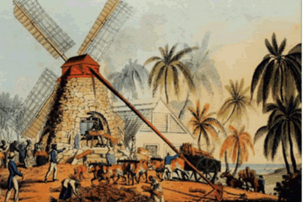
The ruins of the estate house still exist on a beautiful rocky mound where the buff once stood, overlooking Cades Bay and surrounding fields. The base of the old windmill can still be seen in the middle of the pond that was used to pump water to the buff, and a lovely old cotton tree stands to the NE. Directly north is a lovely old stone building, with 2-3’ thick walls, that was part of the estate. This has been renovated and is used to store chemicals for the pineapple farm and pineapples when harvested before distribution to Central Marketing Corp., the Market, etc.
Estate Related History/Timeline
Prior to the 1940/50s, the building was used to store the cotton bales when the area grew sea island cotton and, when empty, was used as a community hall by the nearby village for dances and concerts. A small stage exists to the rear. This was a well-used multi-purpose building.
1777: “Indenture between John Brooks and Christopher Baldwin of London – grants all that plantation called Cades Bay or Road Plantation, containing 350 acres …… and all that plantation called Morris’s lately purchased of Valentine Morris, containing 400 acres …..” History of the Island of Antigua by Vere Oliver Vol.II p.193
1791: William Smith of Antigua, his first cousin (Richard Oliver), who in 1791 sold “Oliver’s” of 260 acres to the Langford Brookes.” Vere Oliver Vol.II p.342
1804: “Thomas Burton of Antigua, planter. Will dated 30 May 1804. All my estate to be sold. My 3 children by Nancy to be free belonging to the estate of John Brooke, Esq. and 30c pounds yearly apiece. To the said 3 children and their mother, 100 pounds apiece.” V.Oliver Vol.I p.92
1851: The Antigua Almanac shows Brookes & Morris’s 755 acres belonging to Henry Hill. 1941 – Antigua Sugar Factory Ltd Cane Returns for 1941 Crop. Brook. Estimated 328 tons – acres estate, 18 acres peasants on the estate, tons of cane delivered 342.
2004: “The Antigua Black Pineapple is our ‘National Fruit’ and appears on the Coat of Arms. It is particularly sweet and flavourful with dark yellow flesh. The Pineapple belt is from Redhill to Bethesda, where the soil is of volcanic origin around to Cades Bay. Pineapples are grown from suckers which take 15-18 months to mature, after which they will produce fruit for approximately three years. The Government Station farms ten acres today.” Mr. Fitzroy Parker, Station Manager.
2005: There is a beautiful old Manse, which remains derelict and crumbling nearby in Urlings. The bell in the photograph has been removed (pilfered) in the last five years. Diaries of Rev. Reid and his family can be researched at the Museum, which gives an account of his tenure in the Old Road area, St. Mary’s Parish, in 1859. Bogey Peak, officially changed to Mt. Obama shortly after President Obama of the United States was elected, is Antigua’s highest peak at 1319 ft. This forms the backdrop for this estate, which also at one time raised cattle. There is another Brooks estate listed below the village of Liberta – this is listed as Brook’s Liberta #82.
Enslaved People’s History
Based on contemporary research, we have little information to share about the enslaved peoples from this plantation at this time. We will continue our quest for more information about these vital individuals.
Ownership Chronology
- Ownership earlier James Douglas (map 1737)
- 1750: Valentine Morris
- 1777: Heirs of F. Brooke
- 1777/78: Luffman map
- 1786: Samuel Oliver.
- 1791: Langford Brooke.
- 1829: Heir John Brooke.
- 1843: Henry Hill.
- 1872: Horsford Almanac
- 1878: Francois Tucker, Mrs. 701 acres combined with Morris’.
- 1933: Camacho map
- 1933: J. Dew & Sons Ltd.
- 1947: Antigua Syndicate Estates Ltd.
- 1967: Antigua Government – Crown Land – Pineapple Farms