About
Type: Ruin?
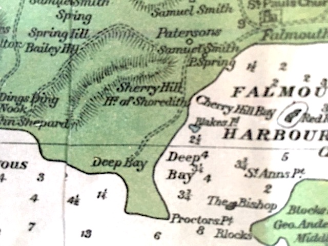
Parish: St.Paul
Founding date: 1777?
See on Google Maps!
Current Status
Cherry Hill overlooks Falmouth Bay. Ownership of land is apparently in contention
Enslaved People’s History
Based on contemporary research, we have little information to share about the enslaved peoples from this plantation at this time. We will continue our quest for more information about these vital individuals.
Ownership Chronology
The John Luffman map of 1787/88 shows four owners along the area, Hon. Dr. S. Athill, Mrs. Mary Willis, M. Henry Nanton and Heirs of Bladen
- 1933: George W. Tonge
- 1940’s: Dennis Gabriel
- 1950’s: sold to Canadian md.to an Edwards