About
Type: Ruin
Parish: St.Paul
Founding date: 1750
See on Google Maps!
Current Status
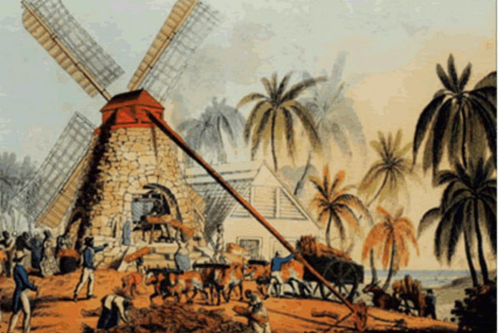
There is no longer a mill at this site. Richmond was just to the east of Liberta Village surrounded by Dimsdale and Howard’s in the south and The Folly and Tyrrell’s in the north.
Estate Related History
1811: Will of Maxwell late of Carriden, Esq., 10 September 1811. Caribbeana “… is witnessed that I granted to them (of the 3rd part) all that my Richmond plantation in the Parish of St Paul in the I. of Antigua also that other called Chapman’s and Howard’s Plantations with all slaves to hold upon trust to secure to my wife a joynture of 800 pounds per year …..”
1820: “sell to William Vizard the ‘Richmond’ plantation containing 175 acres in the Parish of St. Paul bounded S with Chapman’s & Howard’s plantation.” Vere Oliver Vol.II p.261
1829: In 1829, this estate, combined with Howard’s, contained 461 acres and 298 slaves. “William Maxwell, licensed to practice medicine and surgery (Minutes of Council)” V.Oliver Vol.II p.261
Richmond and Howard’s were awarded £4,525 7 s 8 d for 325 enslaved. Nathaniel Snell Chauncy was the awardee, Mr. Hon. Edward Ellice was noted as ‘other association’ and William Holden and William Maxwell MP were unsuccessful.
1851: The Antigua Almanac shows Richmond’s of 461 acres belonging to Mrs. N. Herbert. Richmond’s had a lovely green stone mill which was destroyed in one of the hurricanes. Most of the stones have been removed and sold in the Falmouth area. Selvyn Walter.
Enslaved People’s History
Legacies of British Slave-ownership: Based on contemporary research, we have little information to share about the enslaved peoples from this plantation at this time. We do know that, in 1829, this estate, combined with Howard’s, contained 461 acres and 298 enslaved peoples. Later that same year, Richmond and Howard’s were awarded £4,525 7 s 8 d for the freedoms of 325 enslaved people between the two estates. We will continue our quest for more information about these vital individuals.
Ownership Chronology
- 1780 James Maxwell – 1777/78 Luffman map
- 1810 William Maxwell (d.1811)
- 1821 William Vizard
- 1843 Nathaniel Gilbert
- 1851 Mrs. N. Gilbert
- 1878 Miss M. McDonald
- 1933 John H. Moore to this day (2000)