About
Type: Ruin
Parish: St.Mary
Founding date: 1737
See on Google Maps!
Current Status
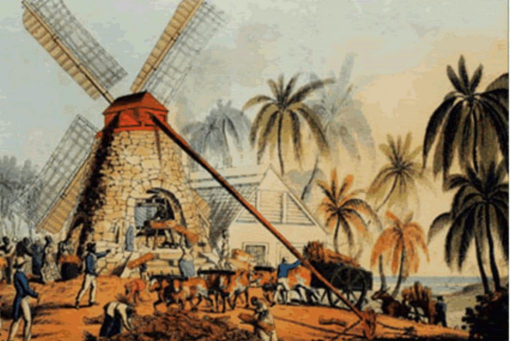
There is no longer a mill at this site, though I have been told there are worked stones in the bush. This estate converted to steam in the mid-1800s. Seaforth borders on the north the flashes, which are a part of the drainage system all the way from Body Ponds; to the east is Smith’s, to the south, is New Division, and the sea to the west. This whole area must have been very prolific regarding seafood, from cockles and conch in the seagrass to fish in the bay.
The bay is very protected and shallow, with Maiden Island in the middle, owned by the Hall family and used for camping vacations. Straight up to the south is the ‘Sleeping Indian,’ all in all, a beautiful area. There are two roads into the estate: a low road that borders the swamp and tends to be underwater these days at high tide and the high road which comes over the hill and past New Division.
In the old days of horse and buggy, this must have been considered a very remote estate from the capital of St. John’s. “Went this evening to Casamajor’s Estate. As it was the first time I had been there, according to the custom, I went to see the manager, who received me with great kindness and bore excellent testimony to the power of Godliness among the people, the greater part of whom are members of the Society. He observed that the sound of the whip is rarely heard on the estate. Married seven couples, some of whom had grown grey-headed together and others with children in their arms.” Caribbean Adventures, Journal of Thomas K. Hyde edited by David U. Farquhar. p.39.
Estate Related History/Timeline
1767: “In 1767 William Salmond rated on 306 acres and 177 slaves and in 1780 on 456 acres and 242 slaves. (St. Mary’s Vestry Book).” History of the Island of Antigua by Vere Oliver Vol.III p.67.
1800s: In the mid-1800s, David Cranstoun, a man of colour, managed Seaforths for Justinian Casamajor (whose daughter Mary married J.P. Anderdon) and other plantations and was the Power of Attorney for William Manning (head of the Bank of England who went bankrupt) & Anderdon (the company of William Manning, Fredrick & John Proctor Anderdon). He was known as ‘Justice’ Cranstoun. and both he and his brother George are buried at St. John’s Cathedral, behind the fence close to the Church. The Cranstoun family later went on to own Potters (#47), then Cochrane’s (#138) and Thomas’s (#139) estates. Further information on this family #139.
1829: In 1829, this Estate contained 622 acres – 163 slaves. Justinian Casamajor (d.1843). Mortgage assignment of £4,000 on Seaforths plantation to secure payment of Casamajor’s debts to William Manning, John Proctor Anderson Frederick Manning, and John Lavicount Anderdon. Signed “Justinian Casamajor.” M483 The Beinecke Collection. Manning & Anderdon London merchants in partnership from 1794, with Anderdon retiring in 1816. Owned several estates in Antigua.
1833: In 1833, Parliament finally abolished slavery in the British Caribbean, Mauritius, and the Cape. The slave trade had been abolished in 1807, but it took another 26 years to effect the emancipation of the enslaved. The legislation of 1833 was the result of a combination of factors where it was felt that the plantation owners should be compensated for their slaves who were to be freed. The amount of 20 million pounds, a huge amount in those days, was divided between all slave owners.
1878: Almanac shows Edgar H. Lane owning Seaforth’s of 622 acres and designated a Steamworks. He also owned Weatherill’s (#5).
1921: In 1921, 400 acres.
1941: Antigua Sugar Factory Ltd Cane Returns for 1941 Crop. Seaforths. Estimated 600 tons, – acres estate, – acres peasants on the estate, tons of cane delivered 452. Seaforths has been designated a tourist destination and is awaiting development – 2015.
Legacies of British Slave-ownership claimants: John Proctor Anderson – absentee/resident? – awardee – Seaforths – Antigua 17 1103 2491 16s 1d (180 enslaved).
Enslaved People’s History
Based on contemporary research, we have little information to share about the enslaved peoples from this plantation at this time, aside from the numbers of their population over time, which reached its maximum in 1780 with 242 enslaved people working on the plantation. We will continue our quest for more information about these vital individuals.
Ownership Chronology
- 1737-1777: William Salmond
- 1777-1816: Justinian Casamajor Will 1816. – 622 acres. 1777/78 Luffman map
- 1829: Heirs of Justinian Casamajor – 163 slaves
- 1830: Manning & (John Proctor) Anderdon (1760-1846)
- 1843: Edwards & Co. 1872 Horsford Almanac
- 1878: Edgar H. Lane
- 1891: Edgar H. Lane
- 1921: J.T. Dew et al.
- 1933: J. Dew & Sons Ltd. 1933 Camacho map
- 1950c: Rowan Henry & Grp.
- 1960s: Mr. Gordon.
- 2000: Heirs of R.Henry